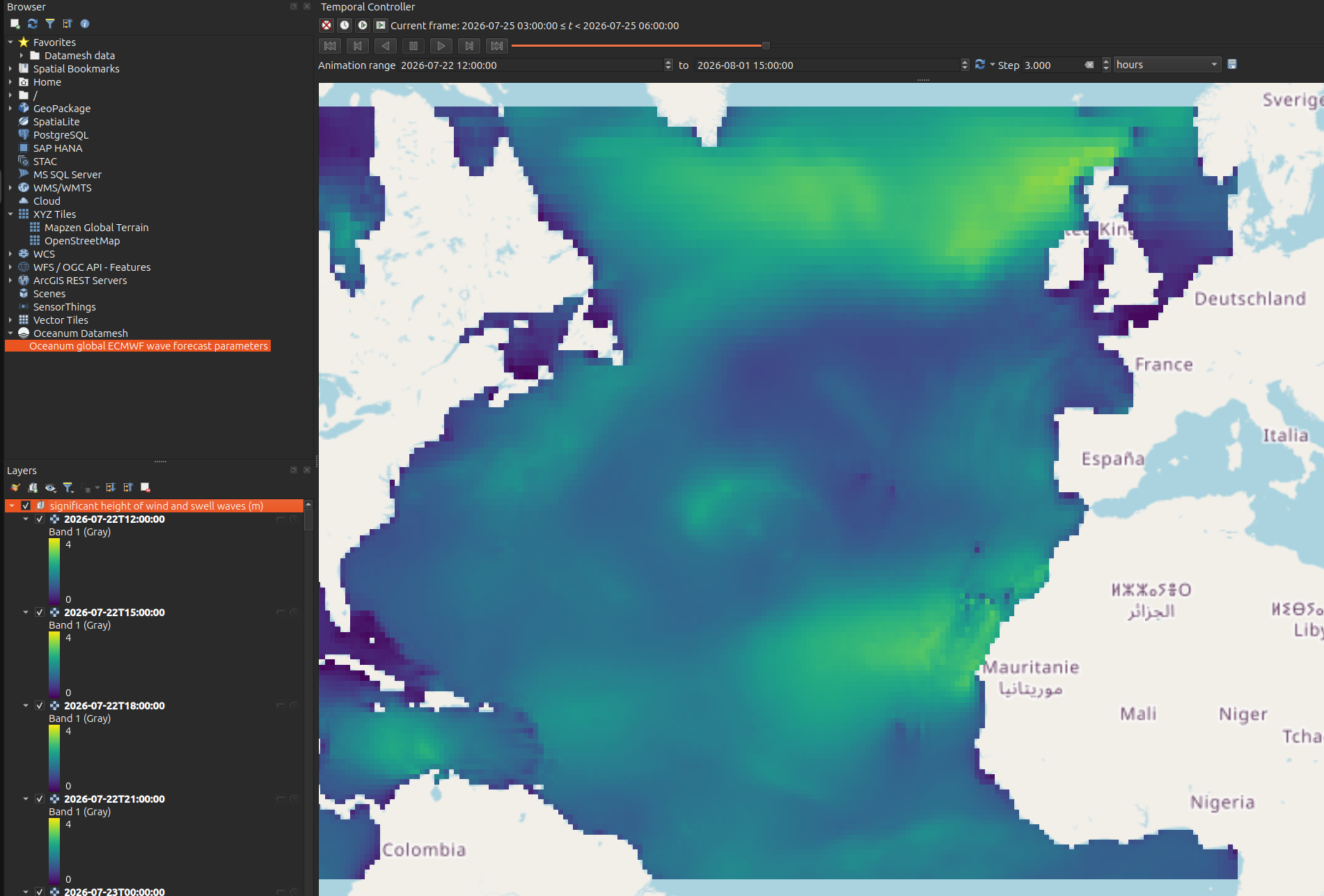
QGIS
The Datamesh provides a OGC compliant Features API which can be connected to QGIS.
NOTE: Minimum QGIS version to support Datamesh integration is 3.24 or later.
Connecting to the Datamesh Features API
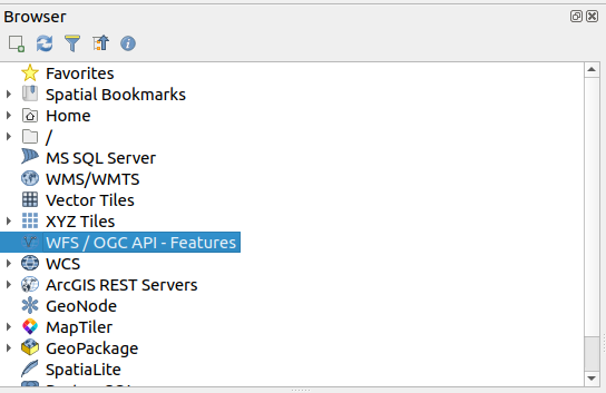
Section titled “Connecting to the Datamesh Features API”- From the QGIS Browser window create a new WFS / OGC API - Features connection:
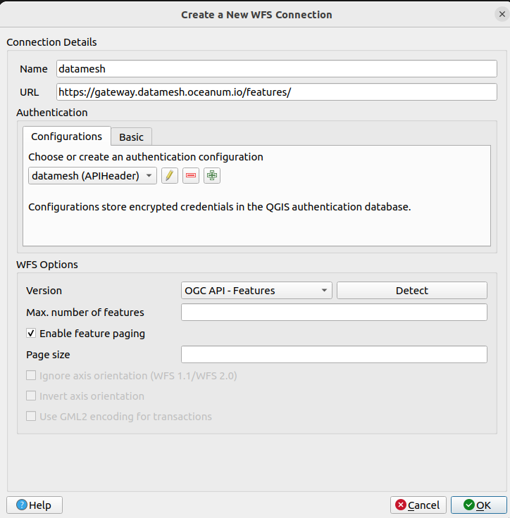
- In the connection dialog, enter the API endpoint as https://datamesh.oceanum.io/features/. Select OGC API - Features for the WFS version.
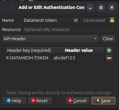
- If you have not already set up an Authentication Configuration for Datamesh, click on the plus symbol to add a new one. Select API Header as the method and enter the Header Key and Value as shown below.
NOTE: The API Header value is your Datamesh token.
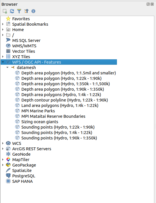
- When you go back to the browser window, you should now see a list of available feature type datasources on the Datamesh. You can add these as vector layers to your QGIS projects.
Using the QGIS plugin
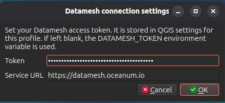
Section titled “Using the QGIS plugin”- Install the Datamesh QGIS plugin from the QGIS plugin repository. You may need to install the oceanum python library as well - you will see this prompted in the plugin menu item in the browser window. Right click on the Oceanum Datamesh connector and set your Datamesh token:
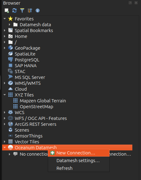
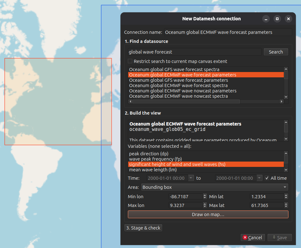
- From the QGIS browser window create a new Datamesh connection.
- In the connection dialog, search for the datasource you want
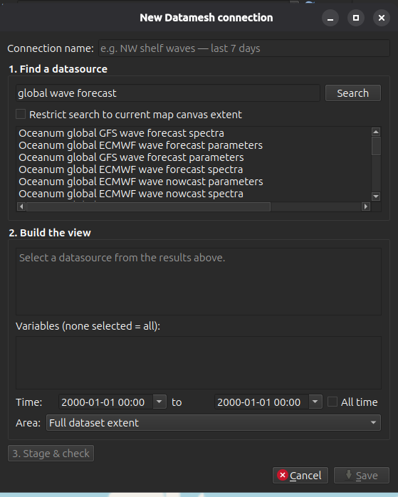
- You can refine the query for specific variables, spatial extents and time limits. Stage the request to check it is compatible. Click Save to add the enw connection.
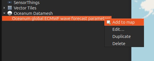
- Add the new connection as a layer to the map. If the datasource has multiple times it will be added as a group.
- You can now interact with the datasource raster layers with the stanadrd QGIS tools. To visualise a multi time datasource, using the Time control is a good option.